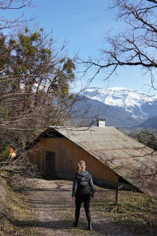
Sentier piéton/raquettes “Le chemin d’interprétation de Verchaix”

1

This itinerary offers a pleasant and instructive walk. Along the way, 15 thematic panels present the flora, fauna, heritage and architecture of the valley.
Two orientation tables give you the names of the surrounding peaks.

Comforts

Languages spoken

  • French

Itinerary

  • Elevation: 95 m
  • Vertical drop: 95 m
  • Positive elevation: 95 m

Prices

Free of charge.

Opening

All year round.

Multimedia

Complementary services

Guidebook with maps/step-by-step

Opposite the town hall, next to the cemetery and overlooking the valley, a sign summarises the route and the riches of the themed trail. The route begins with a visit to the ‘Maison Rouge’ (the home of the Rouge family), which boasts a beautiful front door and a curtain wall paved with pebbles. Turning left again, the route returns behind the church to take the ‘voie Courbe’ path. There is a lovely panoramic view over the Giffre valley and the villages of Morillon and Samoëns. Continuing downhill through woodland, mostly beech, with a few oaks and yews, the path reaches the locality known as Charrière-Lornaz. Go straight on past the cross, along a small road that soon gives way to a pretty path, and you reach the intersection with the path leading to the Valentine footbridge. Note on the left the remains of a ‘Bélier’, a hydraulic system that brought water up to the pool in the hamlet of Lornaz where the path leads. At Les Maisons de Lornaz, well shaded under an imposing lime tree, we can see a new curtain wall, this time paved with wooden logs driven vertically into the ground. A little above the hamlet, a panoramic table offers a commented view of La Bourgeoise, Les Avoudrues, Le Criou and Le Buet... The path becomes wider and continues past an oratory shortly before entering the village of Verchaix. From here, the view, opposite Translated with DeepL.com (free version)