Circuit des grands Bois

1

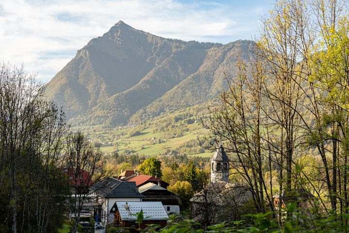
Take this trail to discover the hamlets of La Rivière Enverse and the chapels of Nicodex and Cellière. Beautiful views of Marcelly, Criou, Tuet and the Giffre valley.

Comforts

Services

  • Pets welcome

Itinerary

  • Distance: 5.4 km
  • Duration: 1h40
  • Type of land: Stone, Ground
  • Elevation: 130 m
  • Positive elevation: 130 m

Services provided

Visits

  • Group visit duration: 100 min

Prices

Free of charge.

Opening

All year round.

Multimedia

This service provider also proposes

Chapelle Notre Dame de l’annonciation dit...

Historic site and monument

La Rivière-Enverse

Chapelle de Cellières : Saint Grat

Historic site and monument

La Rivière-Enverse

Eglise Saint-Pierre

Historic site and monument

La Rivière-Enverse

Complementary services

Guidebook with maps/step-by-step

Depart from the main town of La Rivière Enverse. From the corner of the school, follow the signs for Nicodex. The path rises to the eponymous chapel. Then follow the signs for Fargot d'en haut, where you turn right to reach Cellières. At the signpost turn right (signposted Fargot), pass the recently restored chapel, then continue and cross the RD4 at Fargot (take care when crossing the road). Follow the path to Rivière Enverse along the banks of the Giffre, skirting the gravel pit and continuing along the path alongside the Giffre. At the Vernay de Brochère crossroads, turn right onto the wide carriage road that leads back to the church via Les Places.