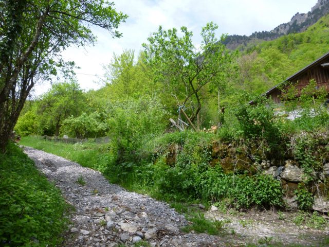
Giffre loop

1

A varied route linking the villages of Taninges and Mieussy, allowing you to discover different aspects of the Giffre valley: river, forest, villages...

Adapt your equipment according to your level and the weather. Stay on the marked trails.

Comforts

Languages spoken

  • French

Furniture

  • Car park

Itinerary

  • Distance: 19 km
  • Duration: 2h00
  • Type of land: Rock, Ground
  • Maximum altitude: 871 m
  • Elevation: 611 m
  • Vertical drop: 610 m
  • Positive elevation: 611 m

Services provided

Visits

  • Group visit duration: 120 min

Prices

Free access.

Opening

All year round.

Subject to favorable snow and weather conditions.

Subject to favorable weather

Complementary services

Guidebook with maps/step-by-step

From the east bank of the Foron, opposite the town hall, head north towards Mieussy. 1/ In Vieux Taninges, at Place du Marché (fountain), take the small stone bridge on the left to reach Place du Château. Follow Montée du Sapeur, then Montée de la Diamanterie. 2/ At the former Diamanterie, turn right, then right again 100 m further up on the gravel path. 3/ Take the track on the left at the house, then go up to the small road at Rond. Turn left and stay along the road for 150 m, then take the track on the right. 4/ At Les Briffes, continue straight ahead on the road. Pass the Miellerie "Le Rucher des Briffes", and at the intersection, follow the road straight ahead. Follow the signs to the St Grat chapel. Alternate road / path on this section. 5/ The path becomes an asphalt road through the hamlet of Les Rasses (Mieussy). 6/ Follow the road down to the village, past the church, cross the road and continue through the village. 7/ At Place de la mairie, cross the road to the village hall below. 8/ Reach and take the viaduct 150 m to the west, then continue along the road furthest to your left. 9/ Take the small road on the right towards the Pont du Diable. Cross the bridge, go up the south bank of the Giffre and then left as far as Créan. 10/ After crossing the hamlet of Créan (on the road), follow a narrow path that dips to the left towards Taninges. The path then runs alongside the Giffre for around 600 m. It then leaves the river and climbs towards Maillet. 11/ Go straight through the village of Maillet for 300 m, then down a grassy path to the left, before house no. 1070, opposite a pond. 12/ Continue for 500 m to reach the road. Turn left. After 200 m, at the intersection, take the path leading down to the Giffre. At the Giffre, turn right. 13/ At the Boche bridge, cross the road and continue straight ahead along the Giffre. Follow the path through the undergrowth as far as the hamlet of Bois Dessous (Taninges), where the path gives way to a small road. 14/ Continue on the asphalt road towards Taninges, as far as Pont des Thézières. The Flérier dam, visible on the left, is closed to traffic. 15/ At the bridge, turn left and drive carefully along the road. Take the 1st left (Route du Stade). 16/ At the municipal campsite, continue towards the tennis courts, skirting them to the right. 17/ Reach the banks of the Foron and, after 200 m, cross the footbridge. Follow the path up the Foron as far as Taninges.