Grand tour of Praz de Lys Sommand

1

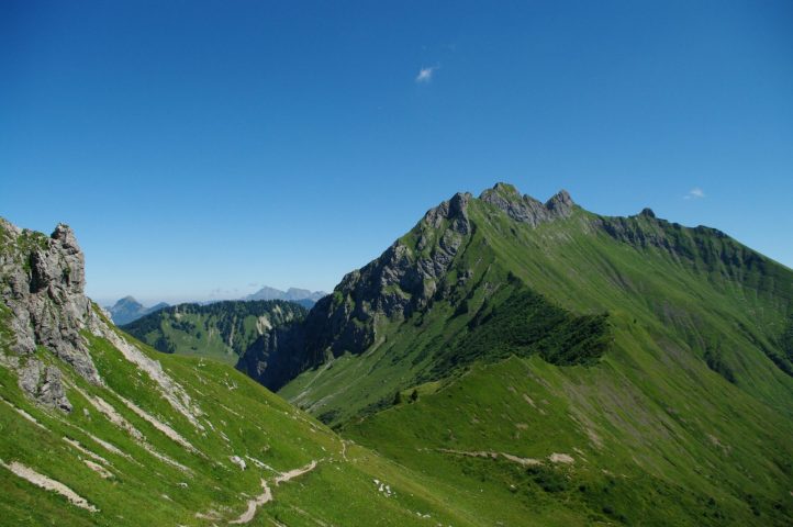
Departing from Taninges, this route takes in the most beautiful views of the Praz de Lys - Sommand plateau, between mountain pastures and wilderness.

Adapt your equipment according to your level and the weather. Stay on the marked trails.

Comforts

Languages spoken

  • French

Furniture

  • Car park

Itinerary

  • Distance: 46.2 km
  • Duration: 6h00
  • Type of land: Rock, Ground
  • Maximum altitude: 2104 m
  • Elevation: 3472 m
  • Vertical drop: 3470 m
  • Positive elevation: 3472 m

Services provided

Visits

  • Group visit duration: 360 min

Prices

Free access.

Opening

From 15/05 to 15/11.

Subject to favorable snow and weather conditions.

Subject to favorable weather

Complementary services

Guidebook with maps/step-by-step

Day 1 (18km, 1659m+): starting from Taninges, the route takes you first to the Chapelle Saint Grat (17th century) before tackling the ascent to the Pointe de Perret (alt.1940m). The 1000m of ascent is amply rewarded by the panoramic view from the summit. You then reach the Pic de Marcelly via three kilometers of ridge trails, before descending to Praz de Lys, the end of the first day. Day 2 (28km, 1813m+): the following day, you'll head for the Pointe de Chalune and then the Pointe d'Uble, two summits offering grandiose views of the Alps! You'll also take advantage of this itinerary to discover Lac de Roy, the glacial lake that is the jewel in Praz de Lys Sommand's crown.