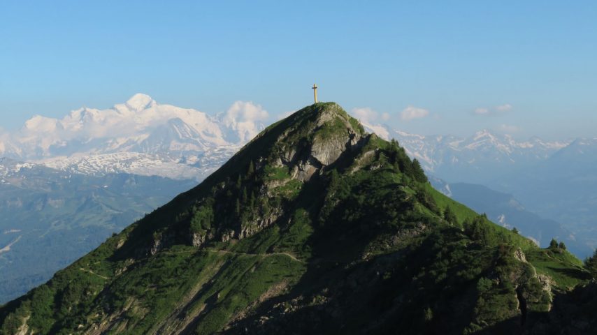
A hike between lake and breath-taking mountain surroundings to reach the Marcelly summit, at 2002m high. At the top, a magnificent panoramic view of the Alps.
Whatever your hike, remember to pack cereal bars, plenty of water, sunglasses, sunscreen, a small first-aid kit, and clothing appropriate to the season and weather forecast.
Comforts
Services
- Pets welcome
- Pets allowed on leash only
Furniture
- Car park
Accessibility
- Not accessible in a wheelchair
Itinerary
- Distance: 9 km
- Duration: 4h50
- Type of land: Stone, Ground, Not suitable for strollers
- Markup: Departmental signposting on beige metal panels with green lettering.
- Maximum altitude: 1999 m
- Elevation: 570 m
- Vertical drop: 570 m
- Positive elevation: 570 m
Services provided
Visits
- Group visit duration: 290 min
Prices
Free access.
Opening
From 15/06 to 01/11.
Subject to favorable snow and weather conditions.
Subject to favorable weather
Complementary services
Guidebook with maps/step-by-step

