1
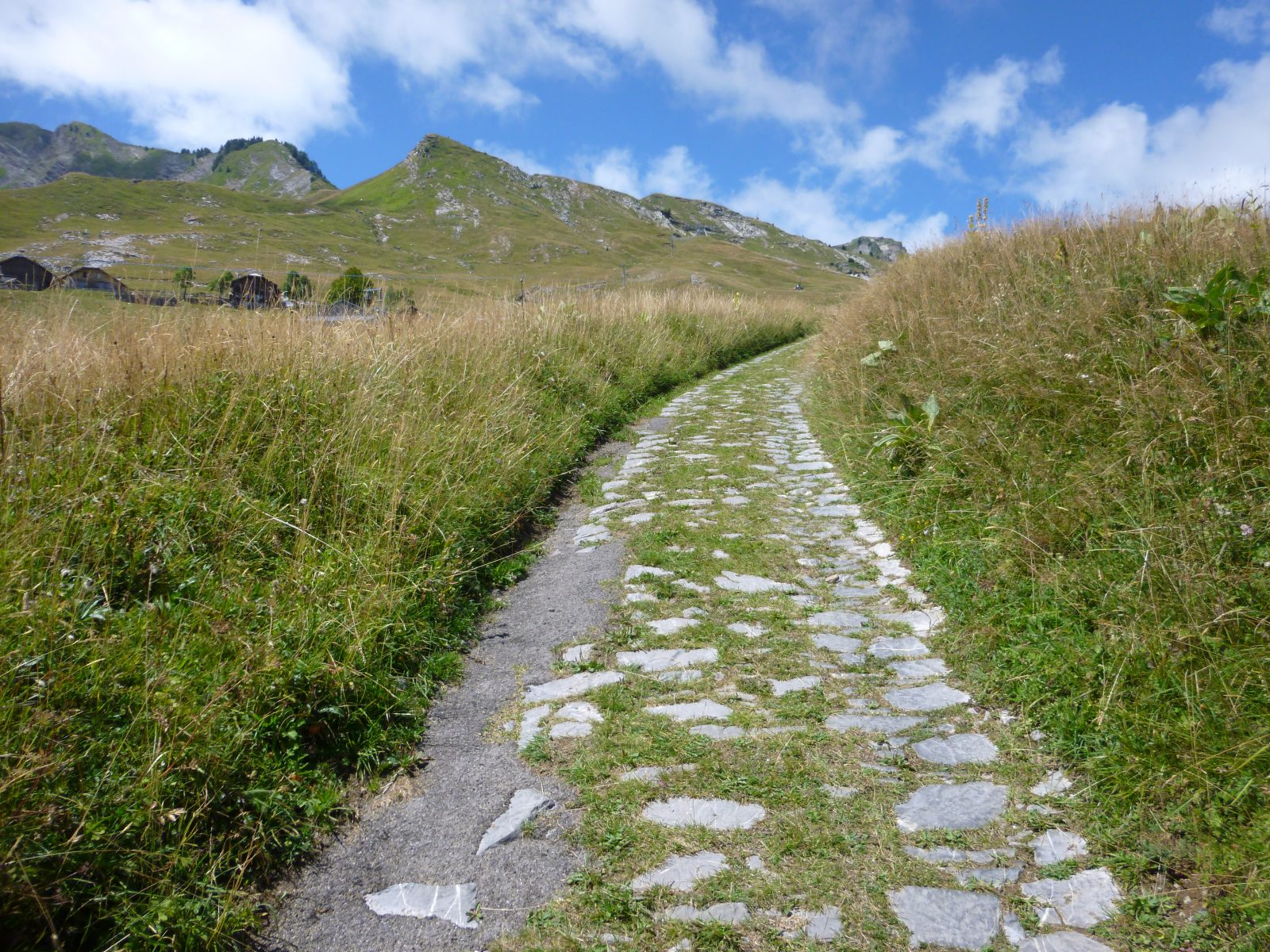
The route follows a paved road built in the Middle Ages by the monks of the Chartreuse de Mélan. It linked the village of Taninges to the mountain pastures of Praz de Lys, 1000 m higher up.
Adapt your equipment to your level and the weather. Stay on the marked trails.
Comforts
Languages spoken
- French
Furniture
- Car park
Itinerary
- Distance: 11.8 km
- Duration: 1h30
- Type of land: Rock, Ground
- Maximum altitude: 1679 m
- Elevation: 1089 m
- Vertical drop: 297 m
- Positive elevation: 1089 m
Services provided
Visits
- Group visit duration: 90 min
Prices
Free access.
Opening
From 15/05 to 15/11.
Subject to favorable snow and weather conditions.
Subject to favorable weather
Complementary services
Guidebook with maps/step-by-step
Tips
Our good plans
Do you have a competitive spirit? Take on this trail challenge! The DéfiTrail courses are equipped with a field timing system. Beacons designed to interact with your smartphone by Bluetooth signal, via the "Praz de Lys Sommand, Territoire de Trail" app, will automatically detect and record your passage (no need to take out your smartphone!). Once the stopwatch has stopped, you can publish your results to enter the "Défis Trail" rankings, and share your times by e-mail, SMS or on social networks.