Road from Châtillon-sur-Cluses to Cluses

1

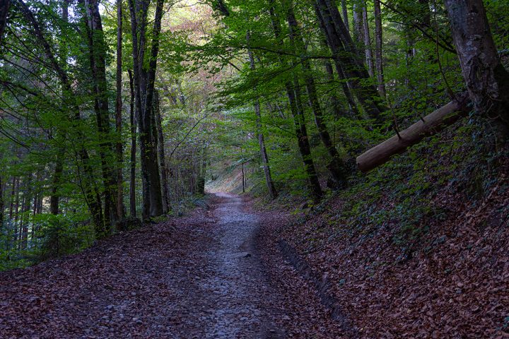
Starting from the church in Châtillon-sur-Cluses, the path leads down to Cluses through woods and quiet hamlets. An easy and pleasant walk, perfect for enjoying the mild autumn or spring weather.

Age minimum : 3 ans

Comforts

Services

  • Pets welcome

Itinerary

  • Distance: 2.5 km
  • Duration: 1h30
  • Type of land: Stone, Ground, Hard coating (tar, cement, flooring)
  • Maximum altitude: 750 m
  • Elevation: 255 m
  • Vertical drop: 255 m
  • Positive elevation: 255 m

Services provided

Visits

  • Group visit duration: 90 min

Prices

Free of charge.

Opening

All year round between 12 am and 11.59 pm.

Subject to snow conditions

Multimedia

This service provider also proposes

Chemin des Guers

Châtillon-sur-Cluses

Chemin du Calvaire

Châtillon-sur-Cluses

Complementary services

Guidebook with maps/step-by-step

The path is marked by a wooden signpost indicating Châtillon-sur-Cluses to the left and Cluses to the right, with a headless horseman in the middle. From the foot of the church, take the route de la Côté, which descends gently. After 200 m, take the right-hand path into the forest and follow it. When this ends at a road, cross it and take the path opposite. You'll come across some pretty houses with views of the Bargy, Le Môle and the Arve valley below. Continue downhill, and after a while, the path returns to the road you need to take. You can see the apple trees, full of fruit in autumn. At a crossroads, follow the signposted Brisac path. After 100 m, the path returns to the forest. At the end of the path, you come to Cluses, turn around and return to the starting point. It is possible to continue the walk in the direction of the Englennaz waterfall in Cluses, not far from the end of this walk.