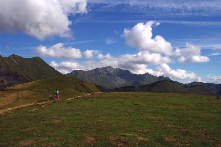
Short hike accessible to all, joining the Bourgeoise from the Col de Joux Plane. This summit, located at 1770 meters of altitude, constitutes a superb viewpoint on the Mont-Blanc and the summit of the Giffre massif surrounding.
Comforts
Services
- Pets welcome
- Coach access
- Motorhomes allowed
- Restaurant
- dog leash
Furniture
- Car park
- Picnic area
- Orientation board
Itinerary
- Distance: 5 km
- Duration: 1h15
- Type of land: Stone, Ground, Not suitable for strollers
- Maximum altitude: 1770 m
- Elevation: 70 m
- Vertical drop: 70 m
- Positive elevation: 70 m
Services provided
Visits
- Group visit duration: 75 min
- Documentation languages: English, French
Prices
Free of charge.
Opening
From 01/06 to 15/12.
June to first snow (cross-country ski trail in winter).
Complementary services
Guidebook with maps/step-by-step

